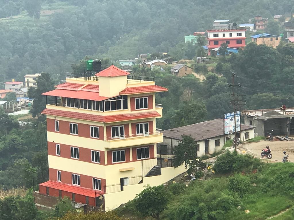
About Tarakeshwar Municipality
Tarakeshwar municipality is in the northwest part of Kathmandu District. The municipality is named after a popular Tarakeshwar temple in same the area. The municipality was formed by merging former Village development committees Dharmasthali, Futung, Goldhunga, Jitpurphedi, Kavresthali, Manmaiju , and Sangla.

Geographical location, Latitude: 270 N and Longitude: 850. The Tarakeshwar municipality is 3 to 10 KM distance from the Kathmandu Metropolis. The head office of the municipality is located at Dharmasthali. The Northwest part of Tarakeshwar is bordered by Shivapuri Nagarjun National Park.
Geography of Tarakeshwar Municipality
The municipality covers an area of 34.9 sq. KM with a population of 151,459 in 2021.
Brahmin-Hill, Chettri, Tamang, Newa, and Magar are the major ethnicities living in the municipality. The municipality is popular due to its natural beauty and religious and spiritual places.
Native of Tarakeshwar Municipality
The main occupations of the dwellers are agriculture produces and services. Though Tarakeshwar is close to Kathmandu city, most of the population in rural areas still lack basic needs. The land for building homes is not available in the capital city of Kathmandu. So people are buying land on the outskirts and are constructing houses rapidly. This results in the area being urbanized.
Volunteers Initiative Nepal has been actively working especially Jitpurphedi, Kavresthali, Dharmasthali, and Goldhunga of Tarakeshwar municipality. VIN started implementing projects from Jitpurphedi (ward # 3) in 2006. VIN extended its projects to Kavresthali (ward # 2) in 2016 and Goldhunga in 2018. When VIN started implementing community empowerment projects in Jitpurphedi, the area was far behind on the human index in areas like health, education, and sanitation.
What do we do at Tarakeshwar Municipality?
VIN uses a holistic model of community empowerment. We address the need for education, health & environment, economy, and basic infrastructure development by executing Women’s Empowerment, Children’s Development, Youth Empowerment, Public Health and Medical Care, and Disaster Risk Reduction.
The following table presents the demographic info of Kavresthali, JitpurPhedi, and Goldhunga.
| Ward name | Ward number | Location | Total Households (2011) | Total population (2021) | Male | Female | Location of ward offices | Health facility |
| Kavresthali | 2 | 27.80N, 85.300E | 1007 | 13154 | 6487 | 6667 | Thanti | Health post and city health Center |
| Jitpurphedi | 3 | 27.780N, 85.280E | 1103 | 6946 | 3563 | 3383 | Tinpiple | Health post |
| Goldhunga | 5 | 27.60N, 85.280E | 3806 | 17732 | 8889 | 8843 | Mudkhu | Health post |
Schools profile
| S. N. | Name of village | Public | Private | ECD | ||
| Higher Secondary | Secondary | Basic | ||||
| 1 | Kavresthali | 1 | 1 | 1 | 5 | 8 |
| 2 | Jitpurphedi | 2 | 1 | 3 | 2 | 9 |
| 3 | Goldhunga | 1 | 1 | 0 | 4 | 6 |
| 4 | Total | 4 | 3 | 4 | 11 | 23 |

 Member of